Portraits, Images and Maps
On this page are some jumping points to exloring images useful for those interested in Oakland's history and those who are doing genealogical research in the same. These images come from a variety of sources, including postcards, newspapers, books, photos and online resources.
I would like to thank the Oakland Public Library for their ongoing efforts to bring Oakland's history into the digital age.
- Postcards and Images
- Portraits
- Maps
- Photos
Postcards and City Images
Key Route Terminal, ca. 1911 |
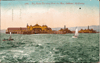
Lafayette Park/Chabot Observatory, ca. 1906 |
Broadway, bef. 1910 |
Broadway, aft. 1910 |
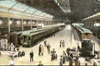
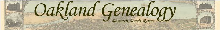
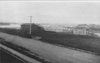
SPRR Mole, ca. 1910 |

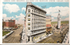
Oakland High School, ca. 1910 |
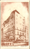
Oakland City Club Hotel, ca. ? |
City Hall Square, ca. ? |
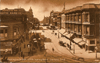
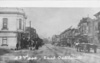
Washington Street, abt. 1899 |
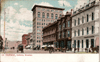
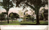
Broadway, ca. 1908 |
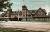
Key Route Inn, ca. 1912 |
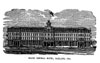
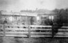
Oakland's Grand Central Hotel, 1876
|
Maps

Broadway Terrace Subdivision, 1890 |
Bird's Eye View of Oakland, 1870
|

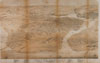
Map of Oakland and Neighboring Townships, 1878
|
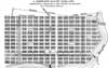
Kellersberger Map of Oakland, 1852 |
Photos
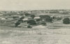
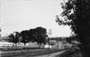
East Oakland, circa 1868 |
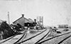
Oakland Railway, 1869
|
Horse and Cart, circa 1870 |
Twelfth Street Dam, 1884
|
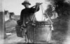
Chinese Vegetable Peddlar, 1885 |
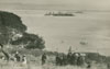
Oakland Long Wharf as seen from Yerba Buena Island (Goat Island), 1886
|
Earthquake Refugee Camp, 1906 |
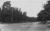
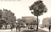
Lakeshore Avenue, 1910s |
East Oakland, circa 1910. |
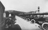
Chevrolet Plant, 1917 |